BrandSat
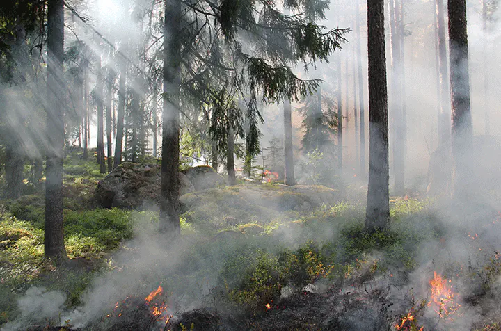
Germany has recently experienced a number of extremely hot and dry summers accompanied by a substantially increased risk of forest fires compared to previous years. Since heat waves are likely to become more frequent in the future, there is a significant need for forest fire research and prevention. The German Weather Service (DWD) provides a daily index for forest fire danger (WBI) at coarse spatial resolution for all of Germany. The goal of our project and our partner project “WBI-Praxis” is to improve the WBI and meteorological fire danger indices through fire and vegetation-related spatial data derived from high-resolution Earth observing satellites. Based mainly on the two satellite missions Landsat and Sentinel-2, the project will develop maps and methods to derive historic and current fire information as well as vegetation characteristics that influence fire danger. Forest structure, potential fire fuel as well as vegetation health will be mapped and combined with parameters from the existing forest fire danger index. The federal states Rhineland-Palatinate and Brandenburg will serve as test areas. Both states are projected to face increased fire danger in the future, whereas Brandenburg has already experienced the majority of forest fire incidents in Germany during the last years. The project is carried out as a joint project between the University of Trier and the Humboldt University of Berlin.
Funding
Bundesministerien für Ernährung und Landwirtschaft (BMEL) und für Umwelt, Naturschutz und nukleare Sicherheit (BMU), Waldklimafonds; FKZ: 2219WK51A4
Project members
Dirk Pflugmacher (Principle investigator) Jan Hemmerling (Project scientist)
