Research at the EO lab
We effectively utilize remote sensing approaches to better understand global change related to land systems, adhering to FAIR principles and adopting an open data philosophy.
Focus
Our research focus
We concentrate on mapping land cover, land use and related spatio-temporal change patterns. Our applications extend from agriculture (both cropland and grassland), over forest ecosystems to urban areas.
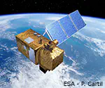
The analysis of long and dense time series from Landsat and Sentinel data is core for our research - from landscape to continental scales.
Hyperspectral image analysis is a second cornerstone of the Earth Observation Lab.
K. Janson
Contributions
Scientific Engagement and Networks
We exchange ideas with other institutions and groups in order to commit to further development of research with our expertise.
Daniel Frese (urban), Tom Fisk (agriculture), Felix Mittermeier (forest) on Pexels, composite by K.Janson
Projects
Our research projects
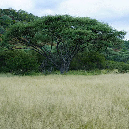
Beyond the forest-savanna dichotomy
Characterising the biogeogreaphy of tropical forest and savanna ecosystems by integrating concepts from ecology and geography.

BorealFrost
Quantifying the capacity of boreal forests to protect permafrost under climate change.
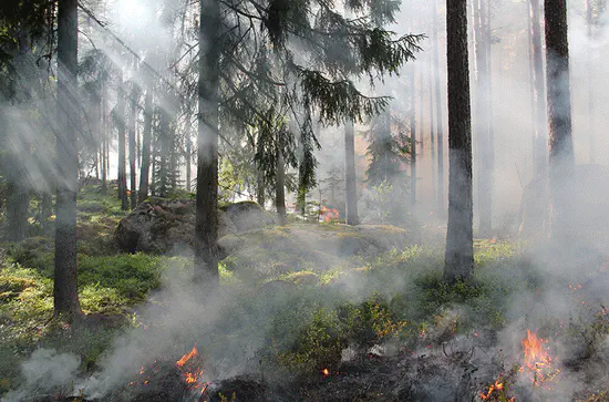
BrandSat
Remote sensing for the spatially explicit representation of forest fire risk and the monitoring of forest fires in Germany.
CliWac
Climate and Water under Change quantifies spatial and temporal feedbacks between water availability and ecosystem properties.
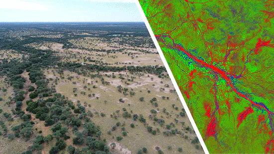
Drylands Namibia
Satellite Derived Vegetation Dynamics in Namibia’s Dryland Ecosystems
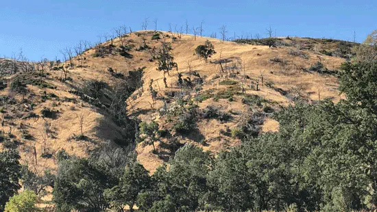
EnFireMap
Developing remote sensing approaches for the analysis of ecosystems wherein fires are an integral part of the natural dynamics, however, experience a sharp increase in risks and intensities.
EnMAP-Box
The EnMAP-Box is a QGIS plugin to visualize & process imaging spectroscopy data.
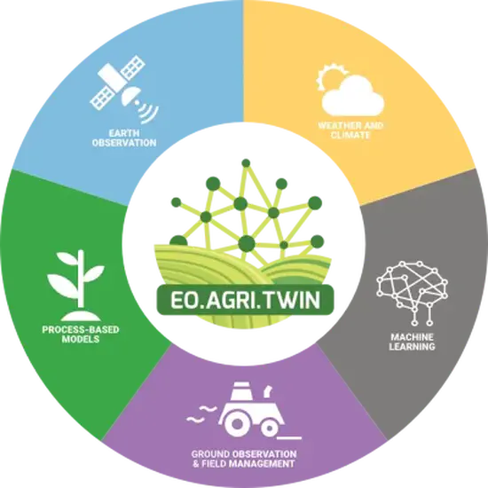
EOAgriTwin
Earth Observation based Digital Twin for Resilient Agriculture under Multiple Stressors.
Fonda
Within the framework of FOuNdations of workflows for large-scale scientific Data Analysis (research_regions) we join efforts with computer scientists to improve portability, adaptability and dependability of our remote-sensing specific big data workflows for analysing the effects of extreme weather events on forest and agricultural land in Europe.
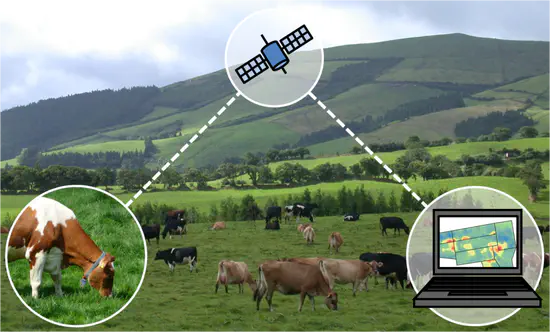
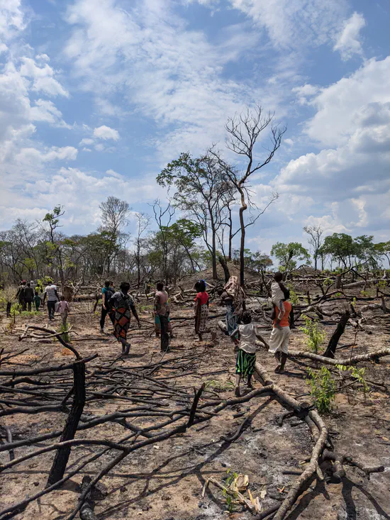
Sen4Moz
Copernicus Data for Mapping Shifting Cultivation Dynamics in Conservation Areas of Mozambique.
generated with OpenAI, August 11th, 2025
Stories
In this section, we communicate selected research through storytelling.
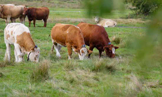
From local to national scale - Earth Observation of semi-natural grasslands within the GreenGrass 2.0 project network
Mapping semi-natural grasslands across spatial scales presents a range of methodological challenges for remote sensing data analysis. From local landscapes to national-scale assessments, this story map explores the approaches used to address these challenges and highlights the contributions of the Earth Observation Lab to the GreenGrass 2.0 project consortium.

Research for Smallholder Farmers’ Food Security in Nigeria
Understanding smallholder agricultural systems at the regional and national levels is a challenge. This storymap explores how the integration of remote sensing data, spatial data analysis, and modeling offers opportunities to improve our understanding and monitoring of the dynamics of smallholder agriculture in Africa, with a focus on Nigeria. It presents key findings from the related PhD and provides access to selected publications.
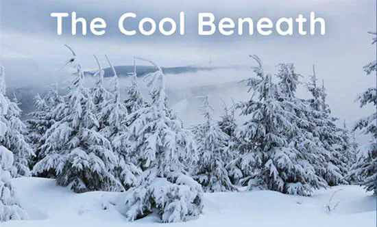
The Role of the Boreal Forest in Insulating Northern Hemisphere Permafrost
To understand the climate protection potential of boreal ecosystems, one must look beyond the carbon stored in tree biomass. This Storymap highlights the research led by Simone Maria Stuenzi and emphasizes the crucial role of boreal forest canopies in regulating the thermal conditions of the underlying permafrost. The research findings show how tree canopies act as a heat shield and help protect the much larger carbon reservoir in the soil.

Urbanization of Ouagadougou
This interactive StoryMap presents results of a study mapping urban expansion and densification of Ouagadougou, Burkina Faso, from 2002 to 2013.
K. Janson
Study Regions
We map land cover, land use and related spatio temporal patterns from landscapes to continental scales to delevop and apply remote sensing methods to better understand global change related to land systems. Research trips to our study regions are essential for understanding the land systems on site and serve to validate the analysis of remote sensing data and outcoming results. We invite you to explore our study regions within different land systems.