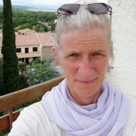
Dipl.-Geogr. Katja Janson
Geoinformation Processing & Cartography
Department of Geography
As a qualified geographer, I have specialized in cartography and geoinformation processing since the early 1990s. For more than 25 years, I have taught in the Bachelor and Master of Education programme in Geography and contributed to curriculum development. Since 2017, I have also focused on the use of geospatial data and geomedia in school education, equipping future teachers with skills in digital mapping, data analysis, and interactive storytelling using ESRI ArcGIS Online (Janson 2018).
At present, I am particularly interested in using ESRI ArcGIS StoryMaps to communicate research findings in an engaging and accessible format that enhances their visibility and enables broader engagement with the public or a specific target audience, beyond the conventions of traditional scientific publications (story map examples: 2026 “The Cool Beneath” | 2026 “From local to national scale”).
My expertise includes project management, computer science, graphic design, and web development, complemented by strong intercultural communication skills that support collaboration in international research environments.
Phone: +49 (0) 30 2093 45813
Rudower Chaussee 16, 12489 Berlin
Room Location: Room 2'207, 'old' Building
- Communication of research outcomes
- Visualization of geographic data
- Application of geomedia in Geography education at schools
-
ILS-Certificate Grafic & Design, 2008
Institut für Lernsysteme GmbH (ILS), Hamburg (DE)
-
Diploma in Geography | Cartography, Computer Science, 1994
Freie Universität Berlin (DE)